
The Portuguese Camino from Porto is a unique route. It offers not one but three different trails: the Litoral, Coastal, and Central route. All three start at Se Cathedral in Porto and go north through Portugal and Spain to Santiago de Compostela. Each route is beautiful in its own way. If you can’t decide which route from Porto to choose you can combine them.
In this post I give a detailed explanation of how to combine the Coastal and Central routes.
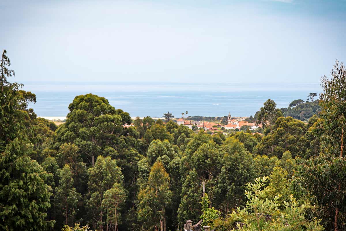
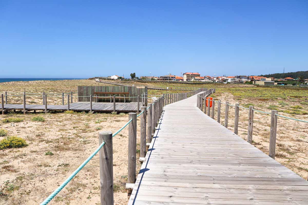
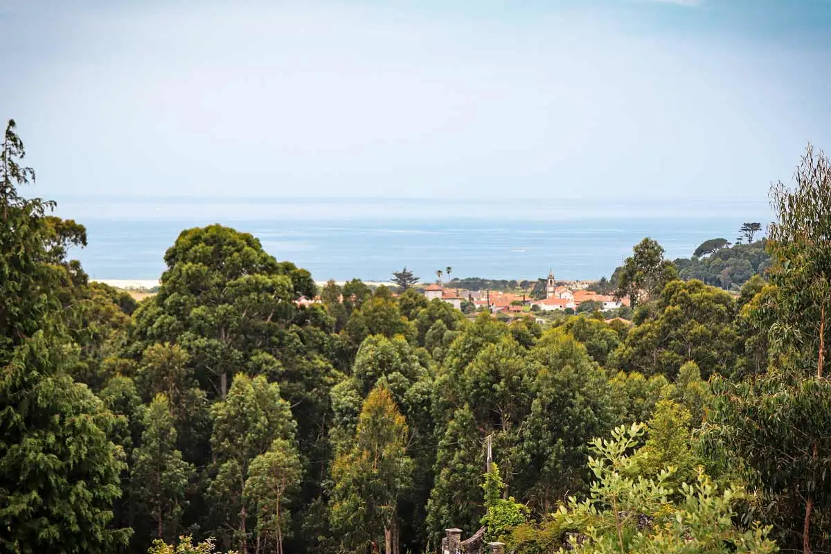 The view of the sea from the trail through the forest on the Coastal Route
How to combine the Coastal and Central Route?
There are two places on the Portuguese Camino where you can switch from the Coastal to the Central Route. The first one is Vila do Conde, 32 km/19.8 mi from Porto; the second one is Caminha, the end of the Portuguese part of the route just before crossing to Spain. If you decide to switch from Vila do Conde you will walk only 1 day along the coast, the rest of the Camino will be inland on the Central Route.
The best way to combine the two routes is to switch from Caminha so half of the Camino you walk by the coast and half inland. In this post I give a detailed itinerary of this combined route.
Downloadable PDF of the combined route
You can download our free PDF of the suggested combined route with walking stages and places to stay at the end of every stage.
Coastal + Central Route of the Portuguese Camino PDF.
Google.maps for navigation
How long is the combined route?
The total distance of the combination of the Coastal and Central routes from Porto is 261 km/162 mi. You will need between 12 and 14 days to complete it depending on your daily walking distances.
What are the advantages of combining the two routes?
The main advantage is that you get to see diverse scenery; coast, beaches, countryside, forest, and historical towns. It is like you get to walk two Camino routes in one.
Another advantage is that by switching to the Central Route in Caminha you skip the least pleasant (in my opinion) part of the Coastal Route walking to and out of Vigo. Vigo is a big port city with a lot of traffic and large industrial areas that you get to walk through. The Camino route is not well-marked in the city so you have to use navigation and follow the directions.
One more advantage is that the combined route is a bit shorter than the Coastal Route: 261 km/162 mi vs 274 km/170 mi.
What is the scenery like on the combined Coastal and Central route?
As you can guess from the name the Coastal Route goes along the coast. It doesn’t mean that most of it is by the sea though. Only 30% of the route is really by the sea, the rest of it is inland but you often can see the coast from a distance. If you want to walk next to the coast as much as possible on the stretch between Porto and Caminha consider the combination of the Litoral and Central routes instead.
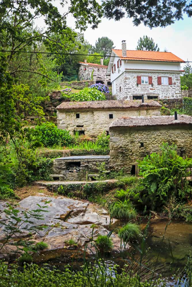
In the middle section on the connecting route from Caminha to Valença you walk through the forest, countryside, and along the river.
On the Central Route from Tui you walk through the beautiful forest, countryside, historical towns, and villages. The part from Tui to Santiago is the busiest part of the central route expect to see a lot more pilgrims.
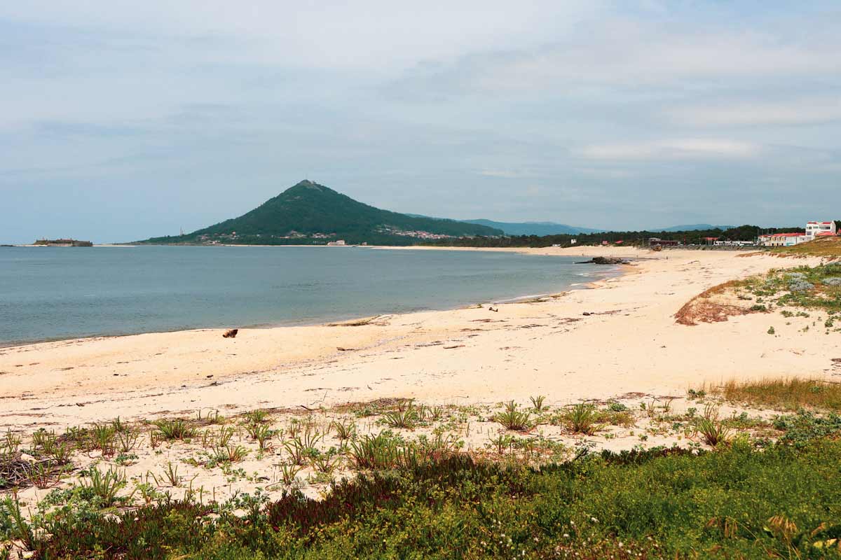
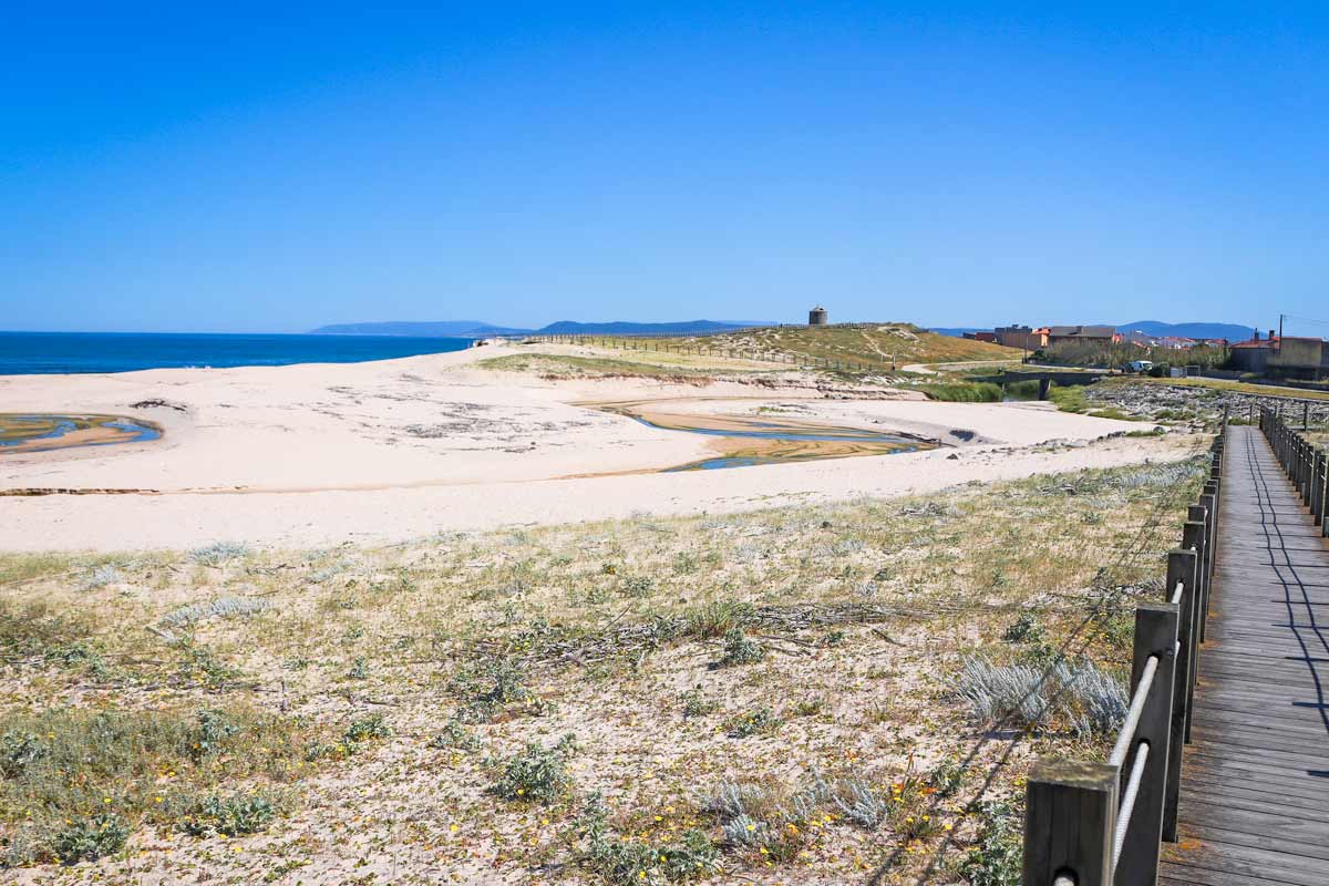
 A wide sandy beach on the Coastal Route south of Caminha
Will I get the Compostela for completing the combined route?
The Compostela is a certificate that every pilgrim who completes at least 100 km/62 mi on any official Camino route can get upon arrival in Santiago. If you walk any 100 km/62 mi on the combined route you will be eligible for getting the Compostela. Just remember that out of 100 km/62 mi at least 70 km/43 mi should be through Spain, and you have to walk the last stage of the route, for the Portuguese Camino it is the stage from Padron to Santiago de Compostela.
Add the Spiritual Variant to your route
The Spiritual Variant (Variante Espiritual) is an optional route of the Portuguese Camino. It splits from the main route after Pontevedra and merges with it again in Pontecesures. The route consists of 3 stages; 2 walking days and 1 boat ride. The boat ride is an official part of the route. Don’t worry if you do it you still will get your Compostela.
Download the PDF with the combined itinerary of the Coastal, Central, and Spiritual routes.
Where to get a Credential (pilgrim’s passport) in Porto?
The Cathedral is the most convenient place to get a Credential. You can buy it for 2 euros at the kiosk inside Se Cathedral. If you already have one you can get your first stamp at the Cathedral.
Otherwise you can buy it at one of the magazine kiosks in Matosinhos. You can inquire about the location at the information office in Matosinhos (it’s right on the Camino route).
The Credential is vital for staying in public (municipal) albergues and for getting the Compostela certificate at the end of the pilgrimage. Just remember to collect stamps along the route. All albergues, hotels and many restaurants and cafes have stamps.
The route overview
- Distance – 261 km/162 mi
- Number of days (stages) – 12-15
- Starting point – Sé Cathedral, Porto, Portugal
- Finishing point – Santiago de Compostela Cathedral, Spain
- Difficulty level – moderate
- Accumulated ascent – 3484 m
- Accumulated descent – 3177 m
- Walking surface – 169.5 km/105 mi – asphalt/tar; 48 km/29.8 mi – footpath/gravel road; 22 km/13.6 mi – boardwalk; 21.5 km/13.3 mi – cobblestones.
- Average cost – 25-30 euros per day per person (staying in albergues), from 40 euros per day per person (staying in hotels).
- Walking along the coast – 46 km/28.5 mi.
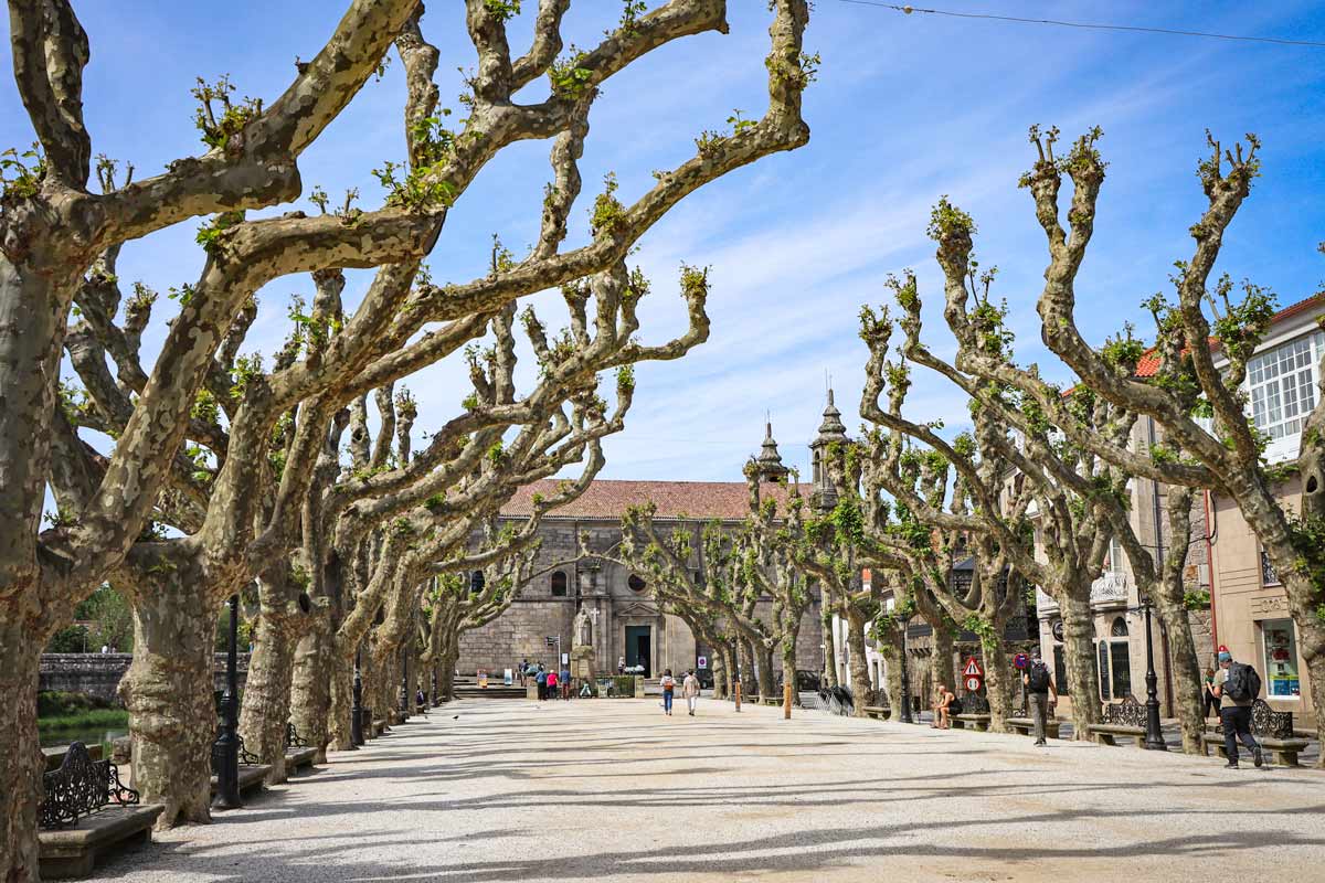 The historical center of Padron the stating point of the last stage of the Portuguese Camino
Walking stages of the Coastal and Central routes combined
Stage 1. Se Cathedral, Porto to Aldeia Nova, 17 km/10.5 mi
- Distance – 17 km/10.5 mi
- Time – 4 hours (moving time)
- Ascent – 200 m
- Descent – 220 m
- Walking surface – 2 km/1.2 mi – boardwalk; 14 km/8.6 mi – tar road; 1 km/0.6 mi – cobbled
- Walking along the coast – 4 km/2.4 mi + 10 km/6.2 mi – along the Douro River
Most people who walk the Coastal Route walk out of Porto following the Litoral Way (the description of the route from Porto to Vila do Conde below is for the Litoral route) so technically you are combining the 3 routes of the Portuguese Camino.
The Litoral trail is a much more scenic route than the actual Coastal Route which goes past the airport, some industrial areas, and next to busy roads. From Vila do Conde this itinerary follows only the Coastal Route. If you want to follow the Coastal Route from the start you can find the detailed description of the first stage here.
 After Matosinhos the Camino goes along the coast on boardwalks
Highlights
- Se Cathedral and the historical center of Porto
- Walking along the Douro River
- Walking along beautiful beaches
- Farol de Leça, a high lighthouse with the museum
- Boardwalk along the coast
Challenges
- The first 10 km/6.2 mi from the Cathedral are not marked. It’s not difficult to find the route; you follow the Douro River for 10 km/6.2 mi till you get to the information office in Matosinhos. From there you can follow the yellow arrows.
Stage 1 route description
0-6 km/0-3.7 mi – through Porto, along the Douro River, restaurants and cafes. You can skip the first 6 km/3.7 mi by taking tram #1 or #18 from the Cathedral to Passeio Alegre.
6 km/3.7 mi – Foz de Douro, São João Baptista Fortress and Barra do Douro Lighthouse.
10.5 km/6.5 mi – Matosinhos, the information office. You can get a stamp and find out where to buy a Credential. At this point you will see the first official Camino sign.
10.5-13 km/ 6.5-8 mi – through Matosinhos, many restaurants, shops, cafes, and ATMs.
13 km/8 mi – another tourism information office. You can get a stamp or find out where to get a Credential.
13 km/8 mi – Leça da Palmeira, several hotels, restaurants, bars, and shops.
13-26 km/8-16 mi – along the coast, past several cafes and restaurants. Some of them are closed in winter.
15-26 km/9.3-16 mi – on a boardwalk.
17 km/10.5 mi – Aldeia Nova, a small place with a couple of guesthouses, restaurants, and bars.
Places to stay in Aldeia Nova
Stage 2. Aldeia Nova to Póvoa de Varzim, 20 km/12.4 mi
- Distance – 20 km/12.4 mi
- Time – 5 hours (moving time)
- Ascent – 95 m
- Descent – 87 m
- Walking surface – 14 km/8.6 mi – boardwalk; 3 km/1.8 mi – tar road; 3 km/1.8 mi – cobbled.
- Walking along the coast – 14 km/8.6 mi.
It is a beautiful walking day, the first half of it from Aldeia Nova to Vila do Conde is on boardwalks along the coast. The second half is through Vila do Conde. Once in the town spend some time walking around the historical center.
 The coastal scenery in the first half of the second stage. The Camino goes along the coast past several beaches.
Highlights
- Spectacular coastal scenery and beaches
- The historical center of Vila do Conde
- Santa Clara Aqueduct in Vila do Conde
- A beautiful promenade in Póvoa de Varzim
Challenges
- Short parts of the boardwalk are covered in sand you walk on dunes which is more tiring
- Walking through the cities (Vila do Conde and Póvoa de Varzim) between 16.5 km/10.2 mi and 20 km/12.4 mi.
Stage 2 route description
0-15 km/0-9.3 mi – along the coast on the boardwalk.
3 km/1.8 mi – Agudela, a big supermarket, 400 m away from the Camino.
6 km/3.7 mi – Praia de Angeiras, a small place with Orbitur Campsite, and a guesthouse.
7 km/4.3 mi – Labruge, a small town with a Municipal albergue (900 m away from the route, inland), a guesthouse, cafes, and restaurants.
9 km/5.5 mi – Vila Chã, a small town with a Municipal albergue, (800 m from the Camino, inland), guesthouses, a campsite, cafes, and a restaurant.
11.5 km/7.1 mi – Praia de Mindelo, another small place with hotels, restaurants, and a shop.
13.8 km/8.5 mi – Praia do Árvore, hotels, restaurants, cafes, and a shop.
14.5 km/9 mi – Praia da Azurara, a guesthouse and cafes.
15-20 km/ 9.3-12.4 mi – the Camino goes inland.
16.5 km/10.2 mi – Vila do Conde, a big town with a Municipal Albergue, private albergues, hostels, hotels, restaurants, cafes, supermarkets, ATMs, and pharmacies.
20 km/12.4 mi – Póvoa de Varzim, a big place with a Municipal albergue, a hostel, hotels, restaurants, shops, ATMs, and pharmacies.
Places to stay in Póvoa de Varzim
Stage 3. Póvoa de Varzim to Esposende, 21 km/13 mi
- Distance – 21 km/13 mi
- Time – 5-6 hours (moving time)
- Ascent – 96 m
- Descent – 87 m
- Walking surface – 6 km/3.7 mi – boardwalk; 8 km/5 mi – tar road; 5 km/3.1 mi – cobbled; 2 km/1.2 mi – footpath/gravel.
- Walking along the coast – 11 km/6.8 mi
The first half of the route is along the coast on boardwalk past several beaches and old windmills. The second half is mostly through the towns and villages.
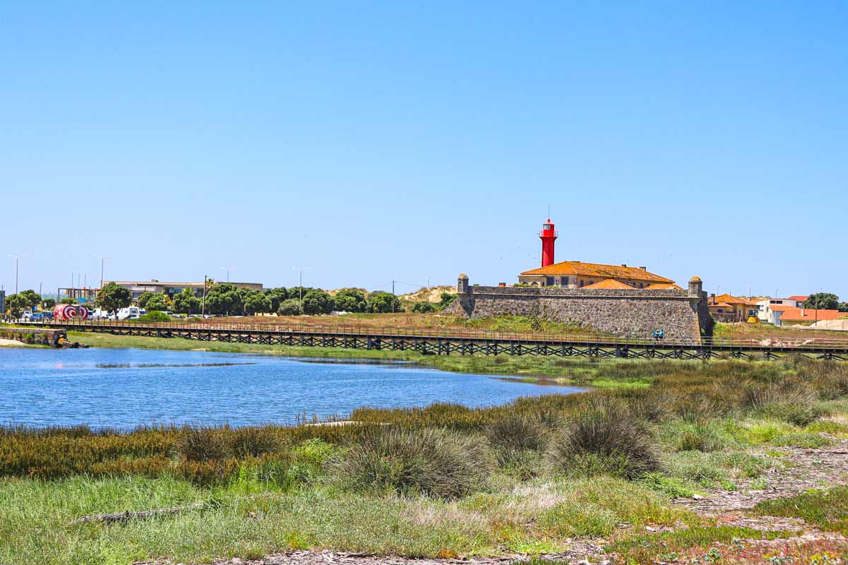 The fortress and lighthouse in Esposende
Highlights
- A picturesque coastal walk between Póvoa de Varzim and Aguçadoura.
- A beautiful walk along the beach from Aguçadoura.
- A small church in Apulia.
- The small town of Fao.
- The historical center and the promenade in Esposende.
Challenges
- Nothing, in particular, an easy walk along the beach and through towns with no hills or walking on the sand.
Stage 3 route description
0-11 km/ 0-6.8 mi – on a boardwalk along the beach.
3 km/1.8 mi – O Ver a Mar, a hostel, hotels, restaurants, and cafes.
7 km/4.3 mi – Aguçadoura, a small town with a Municipal albergue, guesthouses, a shop, a restaurant, and a bar.
11 km/6.8 mi – a bar.
14.5 km/9 mi – Apulia, a small place with a private albergue, hotels, restaurants, cafes, and shops.
18 km/11 mi – Fão, another small town with hostels, guesthouses, restaurants, cafes, and shops.
19 km/11.8 mi – a cafe.
19.8 km/12.3 mi – a hotel/restaurant.
21 km/13 mi – Esposende, a big beach town with hostels, hotels, restaurants, bars, supermarkets, ATMs, and pharmacies.
Places to stay in Esposende
Stage 4. Esposende to Viana do Castelo, 24 km/15 mi
- Distance – 24 km/15 mi
- Time – 6 hours (moving time)
- Ascent – 346 m
- Descent – 361 m
- Walking surface – 5.5 km/3.4 mi – footpath/gravel; 10.5 km/6.5 mi – tar road; 8 km/5 mi – cobbled
- Walking along the coast – 1 km/0.6 mi in Esposende.
Today’s walk is almost entirely inland. The route is still beautiful you get to walk through the picturesque forest with small creeks and rivers. As the Camino goes away from the coast it gets more hilly so be ready to for some ups and downs (nothing steep or long).
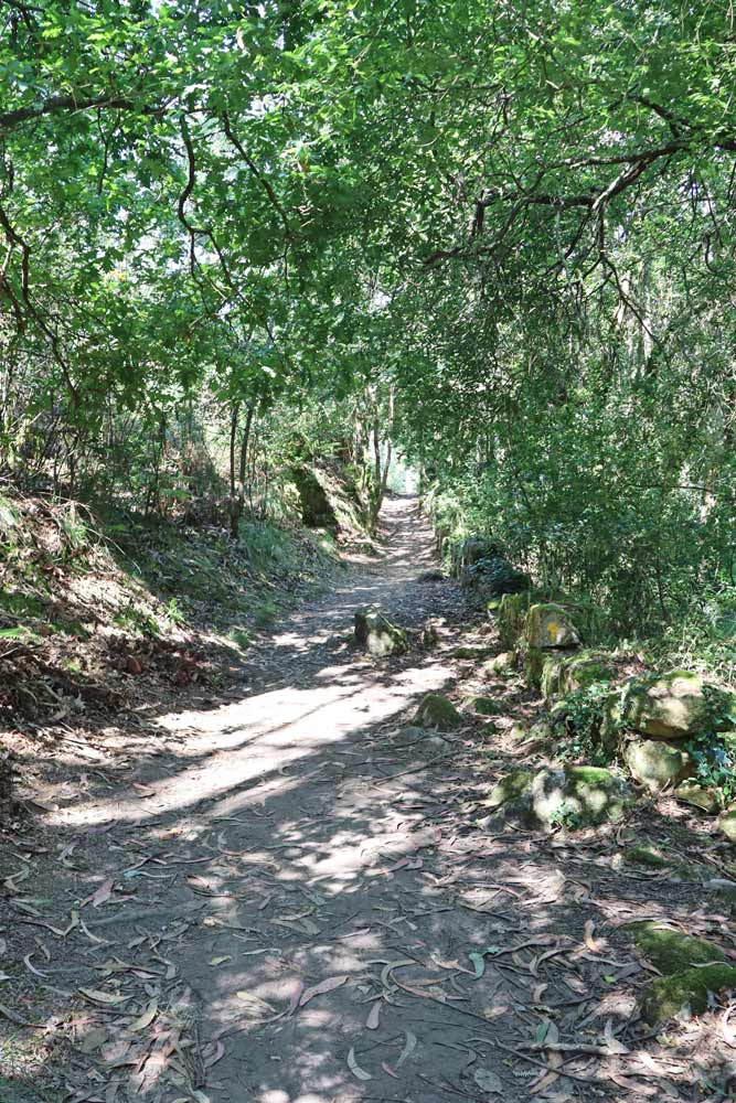 On the Coastal Route you get to walk through the forest as well as by the sea
Highlights
- A spectacular forest with a river between 9.5 km/5.9 mi and 11 km/6.8 mi. One of the most beautiful forest walks on the Portuguese Camino.
- Several beautiful churches where you can get stamps.
- A nice forest walk between 12.2 km/7.5 mi and 13.6 km/8.4 mi.
- The historical center of Viana do Castelo.
Challenges
- Several ascents and descents along the route.
- Walking on hard surfaces e.g. cobbled stones which are tougher on your feet.
- Walking on the sidewalk along a busy road for the last 2 km/1.2 to Viana do Castelo.
Stage 4 route description
3 km/1.8 mi – Marinhas, a small place with a Municipal albergue, guest houses, restaurants, and a shop.
6-8 km/3.7- 5 mi – several cafes and bars.
7 km/4.3 mi – Belinho, guesthouses, cafes, and a shop.
9.4-10.7 km/ 5.8-6.6 mi – on a footpath through the forest.
11 km/6.8 mi – Castelo do Neiva, a small place with a Municipal albergue.
12 km/7.4 mi – the church of St.Iago where you can get a stamp.
12.2-13.6 km/ 7.5-8.4 mi – a beautiful walk through the forest.
13.5 km/8.3 mi – a food stop.
16.5 km/10.2 mi – Chafe, a small place with a couple of guesthouses and a cafe.
19 km/11.8 mi – Anha, a small town with a private albergue, hotels, restaurants, cafes, and a shop.
21.5-23 km / 13.3-14.2 mi – walking along a busy street with many cars.
23 km/14.2 mi – the Eiffel Bridge.
24 km/15 mi – Viana do Castelo, a bit town with a Municipal albergue, private albergues, hostels, hotels, restaurants, bars, supermarkets, ATMs, and pharmacies.
Places to stay in Viana do Castelo
Stage 5. Viana do Castelo to Vila Praia de Âncora, 18 km/11 mi
- Distance – 18 km/11 mi
- Time – 5 hours (moving time)
- Ascent – 318 m
- Descent – 305 m
- Walking surface – 3 km/1.8 mi – footpath; 10.5 km/6.5 mi – tar road; 4.5 km/2.7 mi – cobbled
- Walking along the coast – 0 km/0 mi you see the sea from far from time to time.
Today’s walk is entirely inland though you get to see the coast and sea from the route. The Camino goes through the beautiful forest and countryside. In the first half you walk on old cobbled streets between high stone walls.
 A picturesque walk through the forest in the middle of the day.
Highlights
- Narrow cobbled streets with high stone walls in the first half of the walk.
- 6th-century convent Sao Joao de Cabanas, 30min. walk from Carreço
- At 14 km/8,6 mi – a wonderful cafe in the middle of the forest with outside tables and chairs.
- A beautiful forest in the middle part.
- The historical part of Vila Praia de Âncora.
Challenges
- Several ascents and descents
- Walking on hard surfaces (tar roads, cobblestones) for most of the day.
Stage 5 route description
0-4 km/0-2.4 mi – the Camino goes through Viana do Castelo and its neighbourhoods.
4-10 km/2.4-6.2 mi – the route goes through small villages and fields.
10 km/6.2 mi – Carreço, a small town with a private albergue, guesthouses, restaurants, a shop, and a pharmacy.
11 km/6.8 mi – Casa Sarao, private albergue.
12-13 km/7.4-8 mi – walking through the forest.
14 km/8.6 mi – a cosy cafe in the forest.
17 km/10.5 mi – Âncora, a small place with a guesthouse and cafes.
18 km/11 mi – Vila Praia de Âncora, a coastal town with hostels, hotels, restaurants, bars, supermarkets, ATMs, pharmacies, and a beach.
Places to stay in Vila Praia de Âncora
Stages 6-13. Vila Praia de Âncora to Santiago de Compostela
From Vila Praia de Âncora the route is the same as the combined Litoral and Central routes. You can follow the itinerary HERE.


Travel bloggers and Camino de Santiago Experts
Please visit:
Our Sponsor